2026 Dunkley Biodiversity Audit
A study of wildlife amongst Frankston's natural reserves.
The Dunkley Biodiversity Audit acknowledges the Bunurong people of the Kulin Nation as the Traditional Custodians of the lands, skies and waterways where this audit is conducted. We pay respects to Elders past and present, and recognise their enduring connection to Country.
The Bunurong people have been stewards of this region for millennia - this audit seeks to honour that tradition.
Species Observed
Total Observations
Hours Gathering Data
Total KM Covered
Langwarrin Flora & Fauna Reserve
Click any square to view effort and density data.
Live Audit Map
Audit Zones
The Pines Flora and Fauna Reserve
A 220-hectare reserve serving as one of the last significant remnants of pre-colonial heathland.
Frankston Nature Conservation Reserve
Local water infrastructure providing wildlife with freshwater access and dense canopy cover.
Kananook Creek
A 7.5km riparian biolink stretching from Frankston to Seaford. The subject of active conservation efforts.
Langwarrin Flora and Fauna Reserve
A 214-hectare inland refuge. One of the region’s largest intact bushland remnants.
Audit Gallery
A selection of species observed across the four audit zones
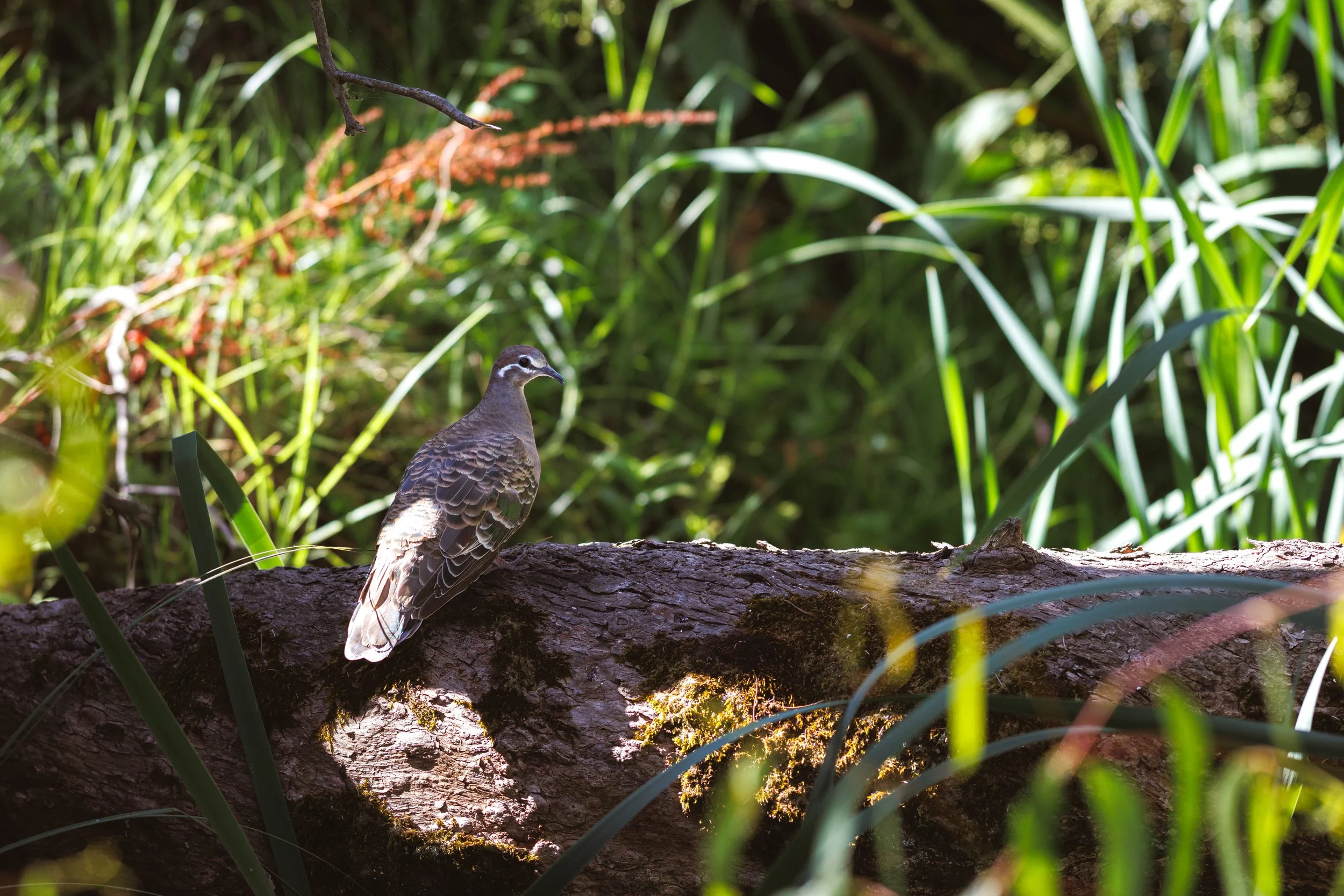
Common Bronzewing | Frankston Nature Conservation Reserve | Native (Least Concern)
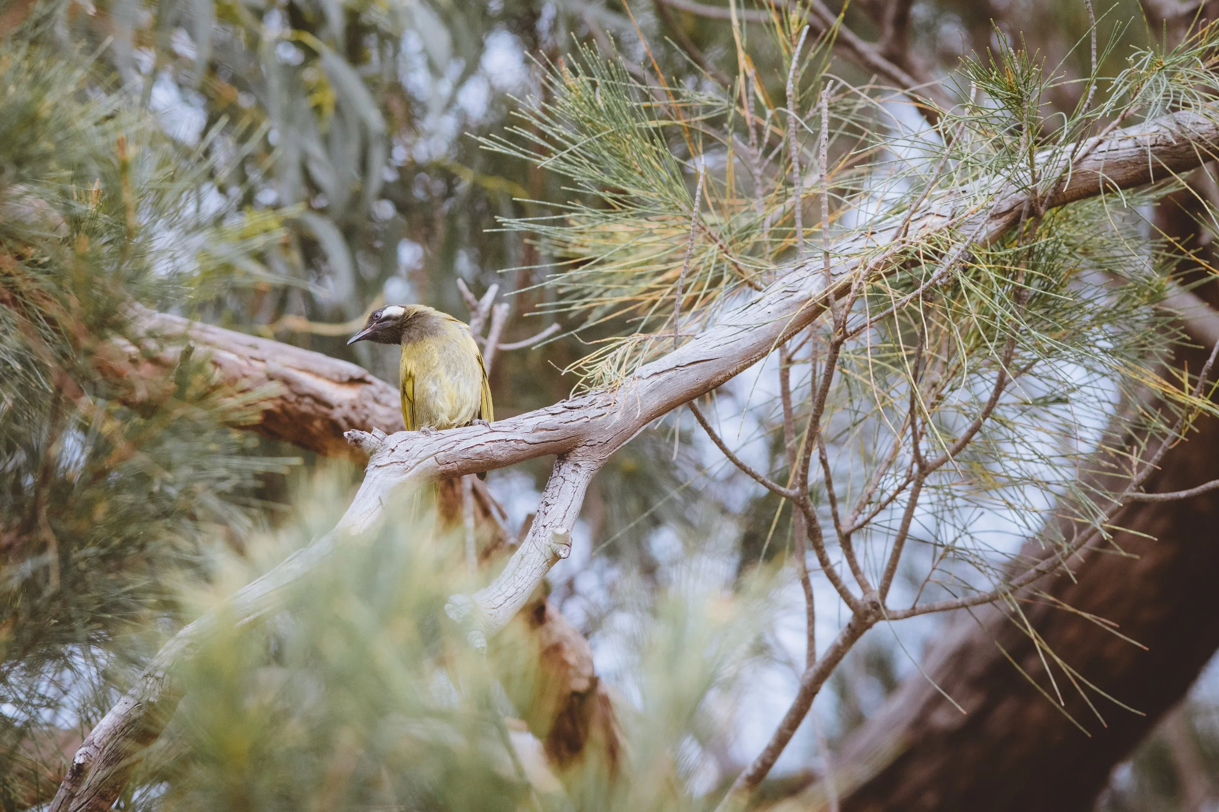
White-eared Honeyeater | Pines Flora and Fauna Reserve | Native (Least Concern)
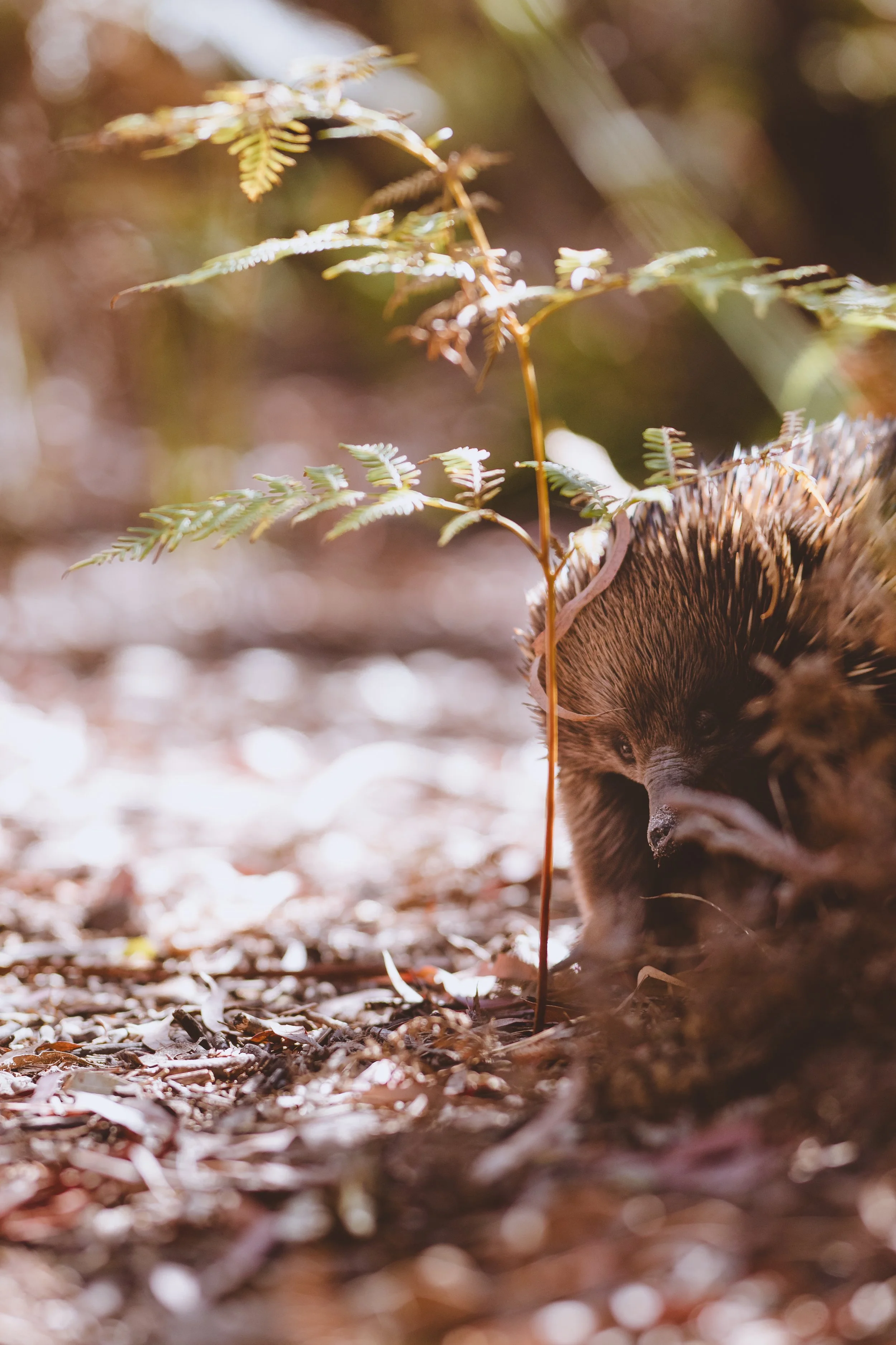
Eastern Short-beaked Echidna | The Pines Flora and Fauna Reserve | Native (Least Concern)
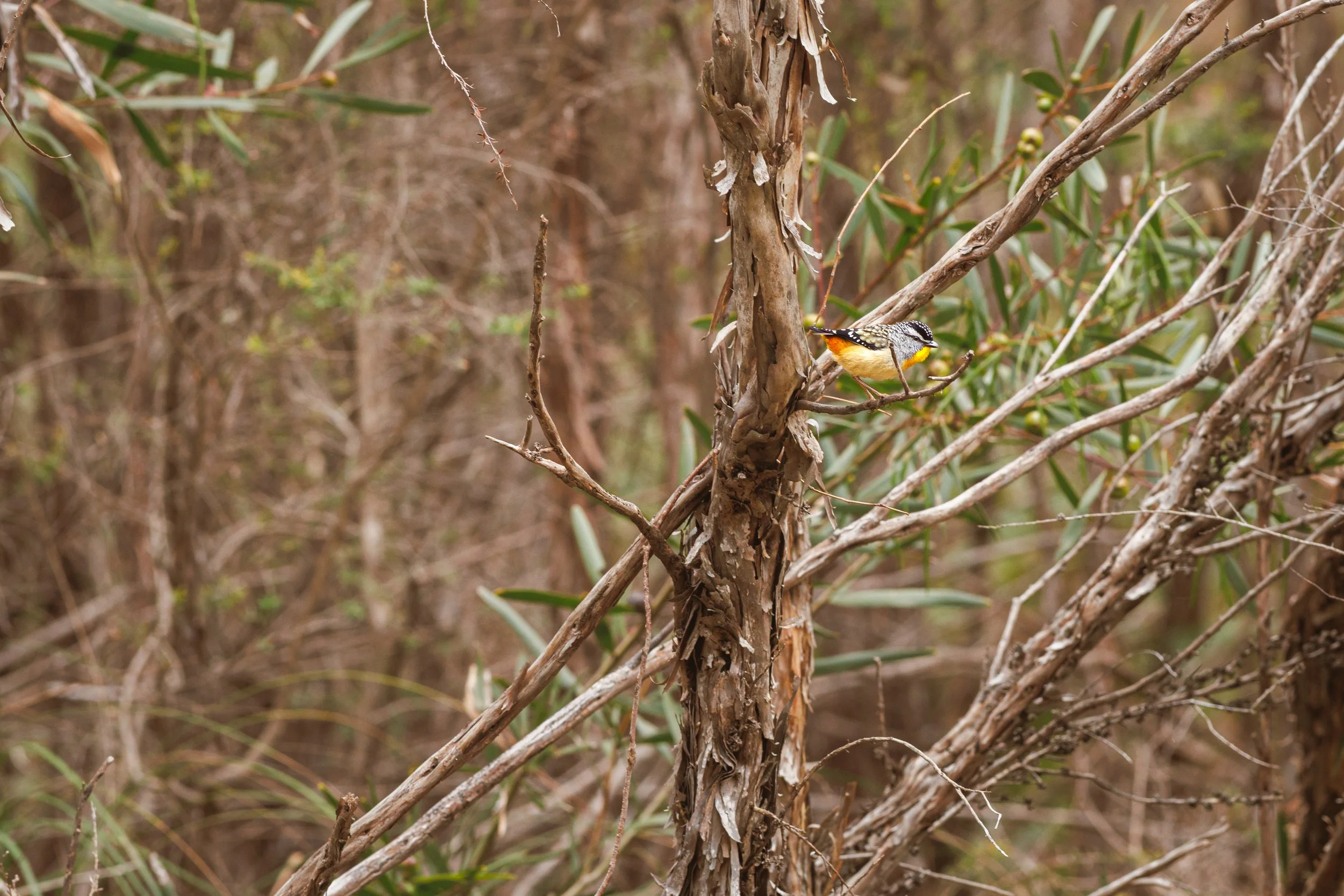
Spotted Pardalote | The Pines Flora and Fauna Reserve | Native (Least Concern)
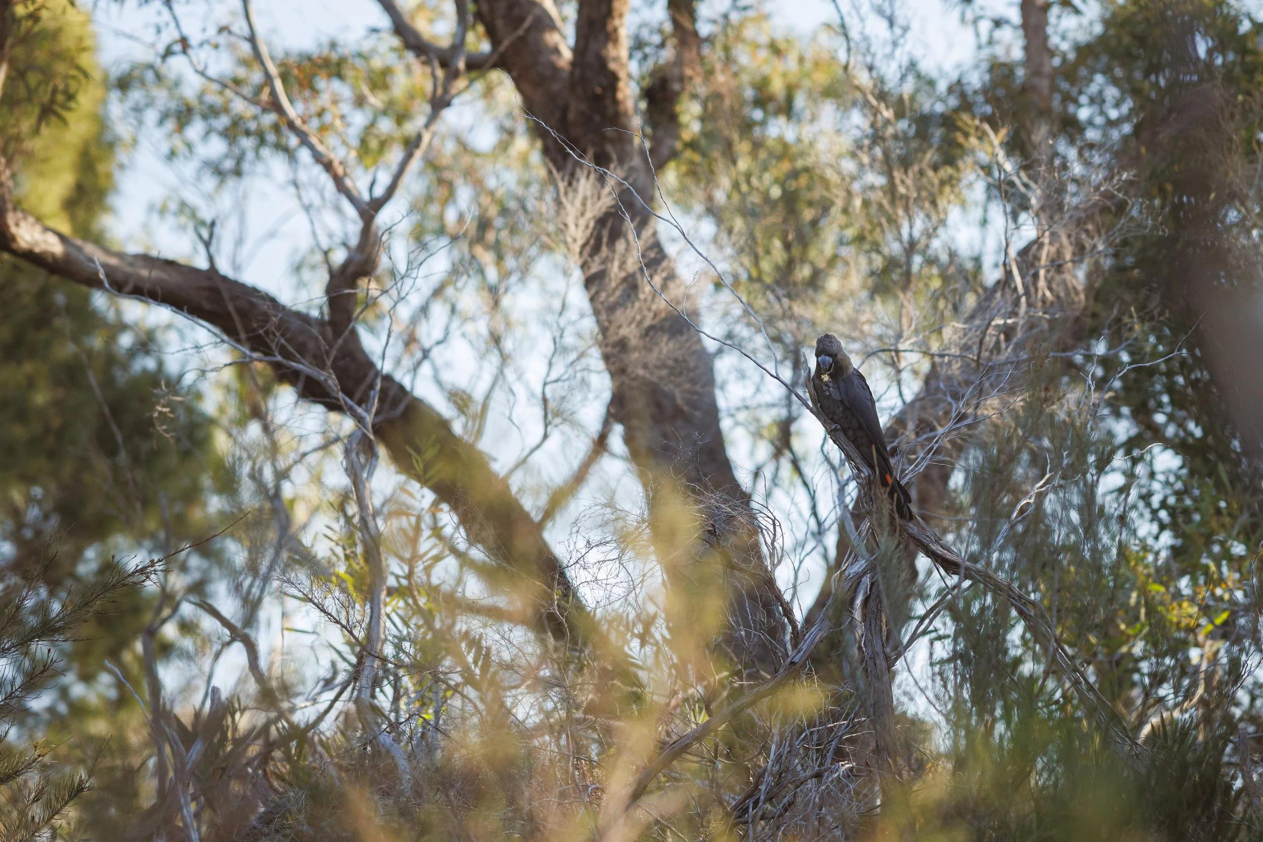
Glossy Black-Cockatoo | Location Obscured | Native - Critically Endangered
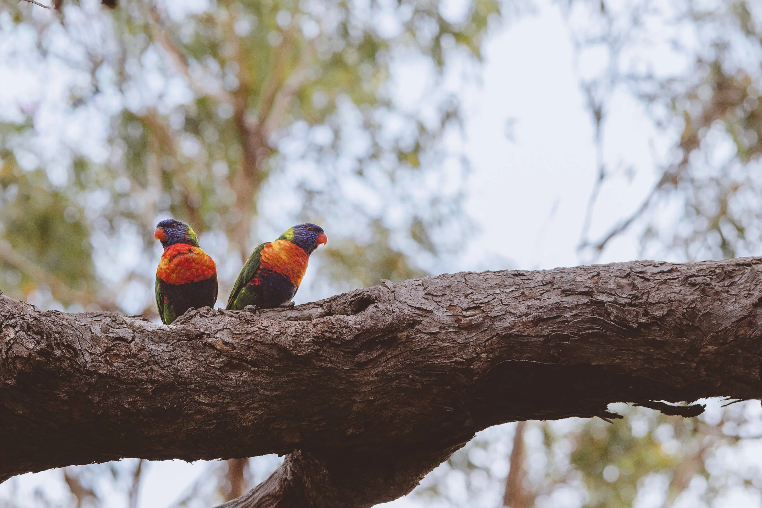
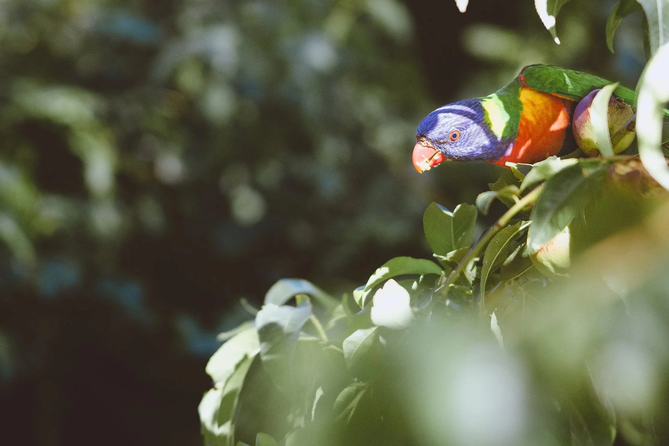
Eastern Rainbow Lorikeet | The Pines Flora and Fauna Reserve | Native (Least Concern)
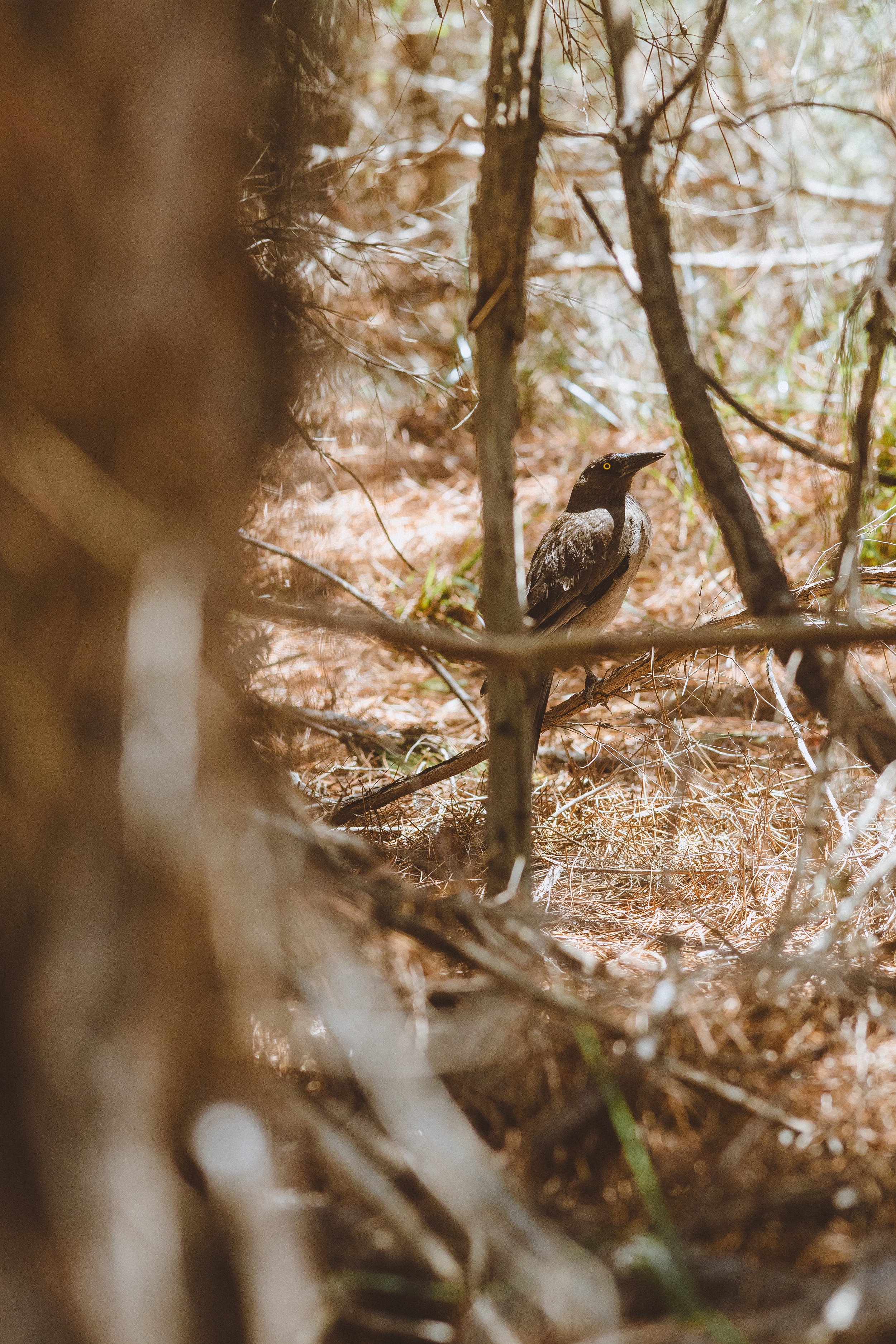
Pied Currawong | The Pines Flora and Fauna Reserve | Native (Least Concern)
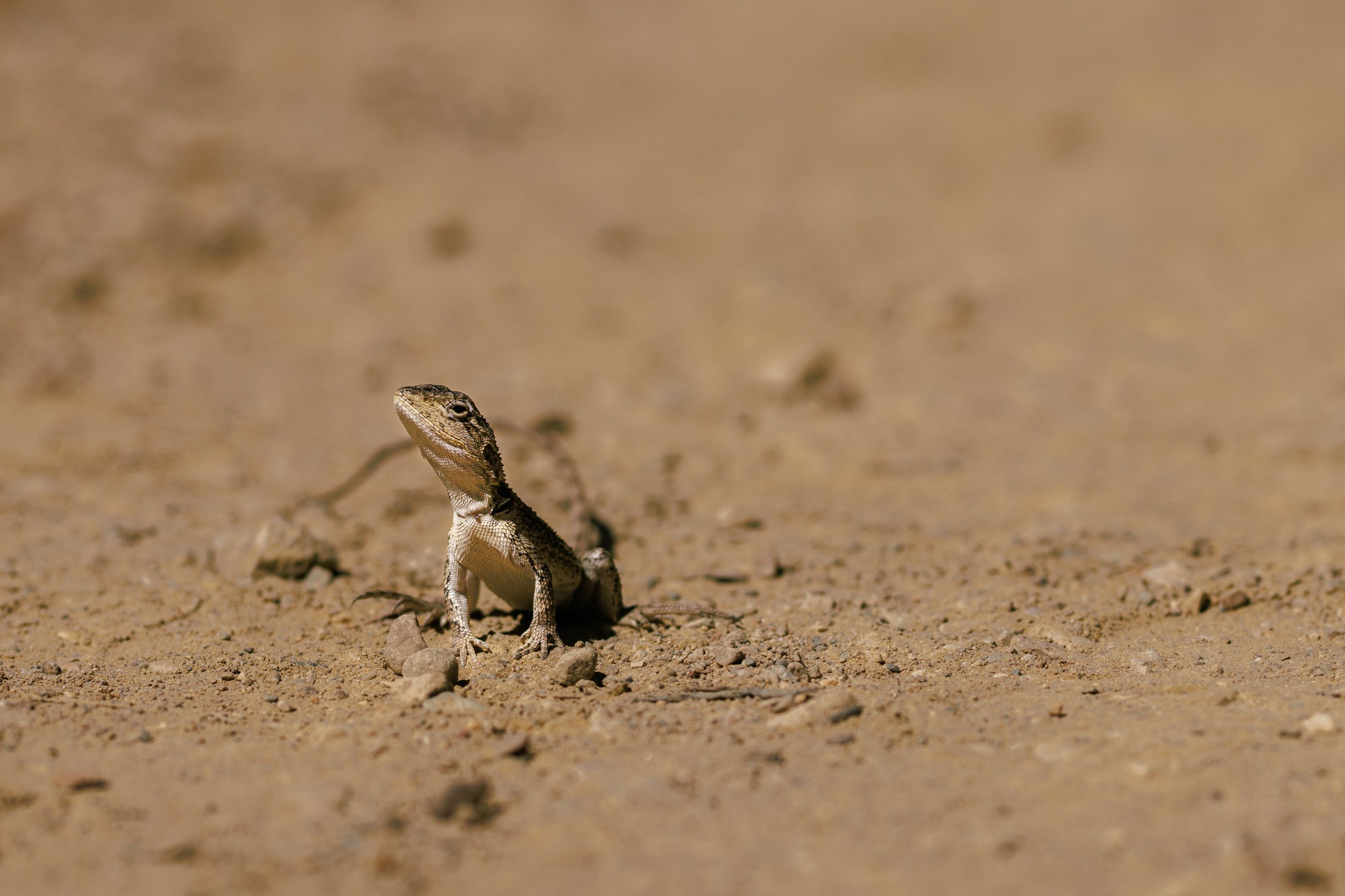
Jacky Dragon | Langwarrin Flora and Fauna Reserve | Native (Least Concern)
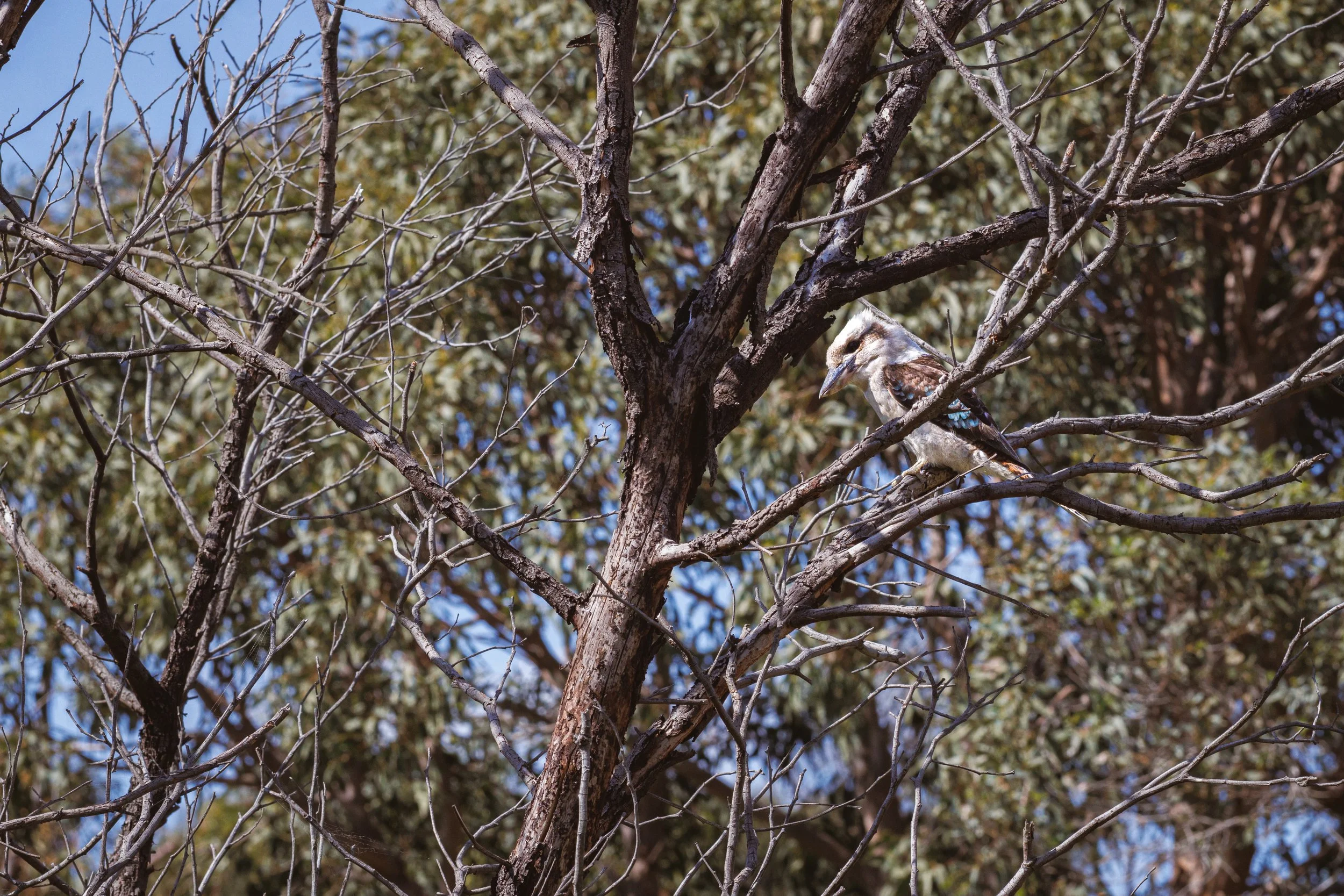
Laughing Kookaburra | The Pines Flora and Fauna Reserve | Native (Least Concern)
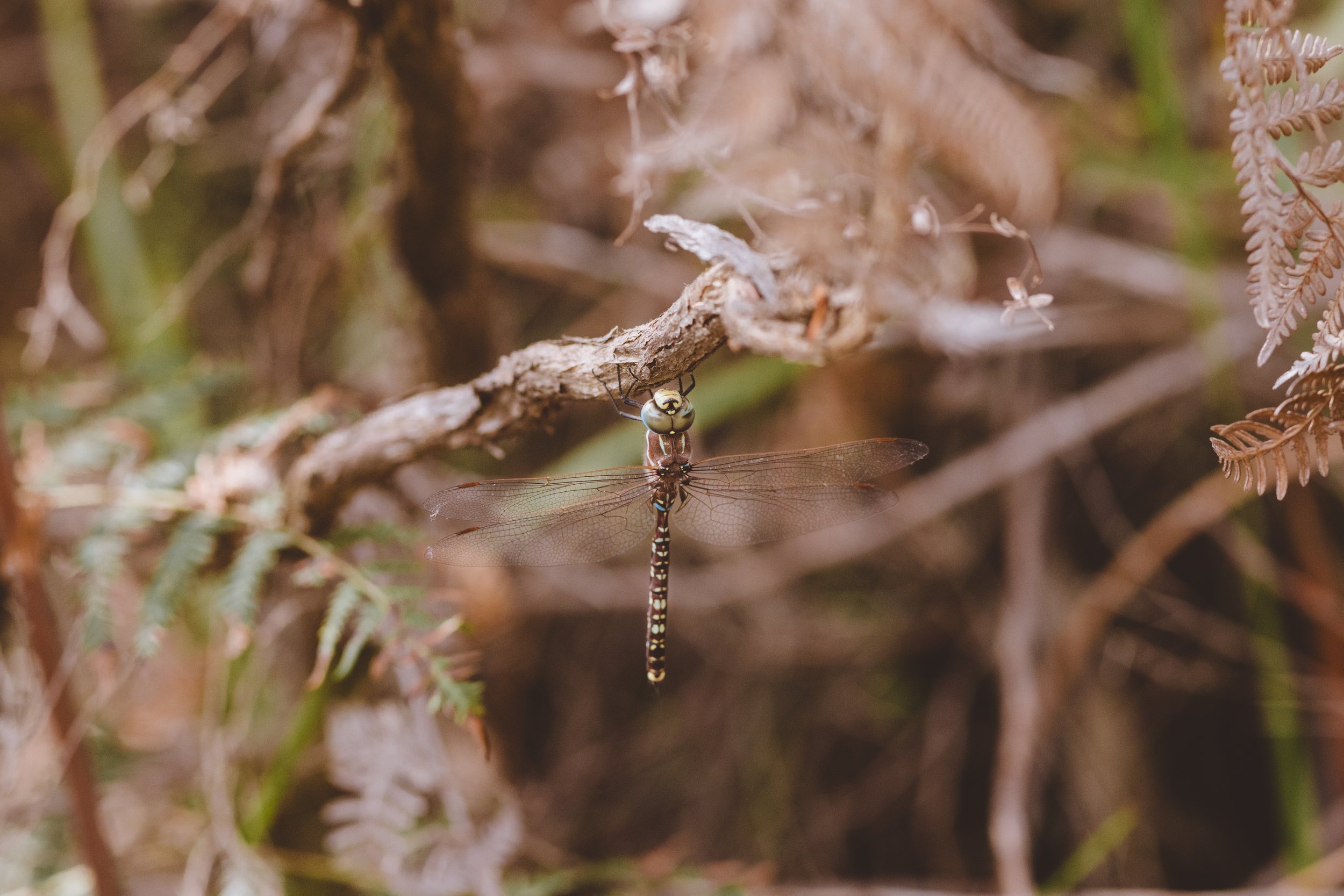
Blue-spotted Hawker | The Pines Flora and Fauna Reserve | Native (Least Concern)
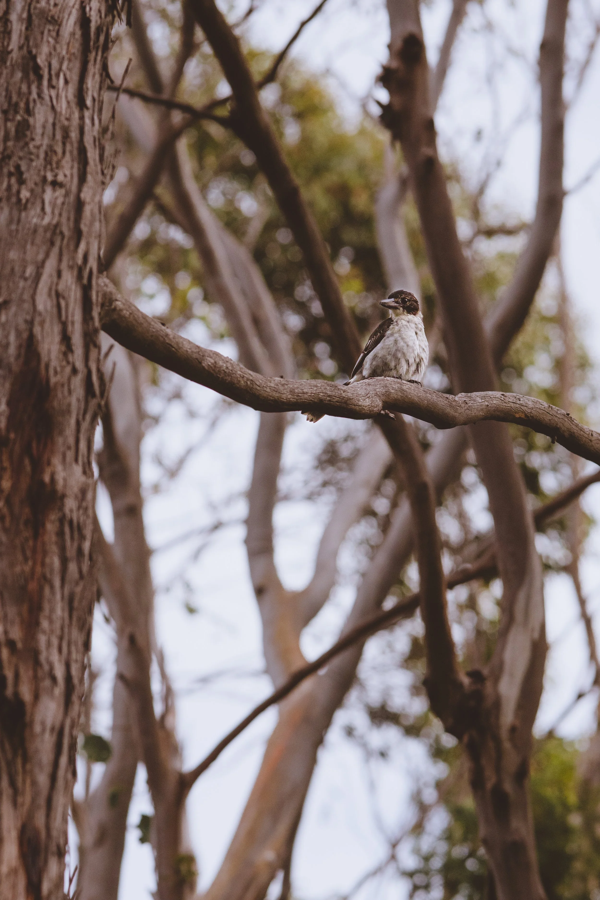
Grey Butcherbird | The Pines Flora and Fauna Reserve | Native (Least Concern)
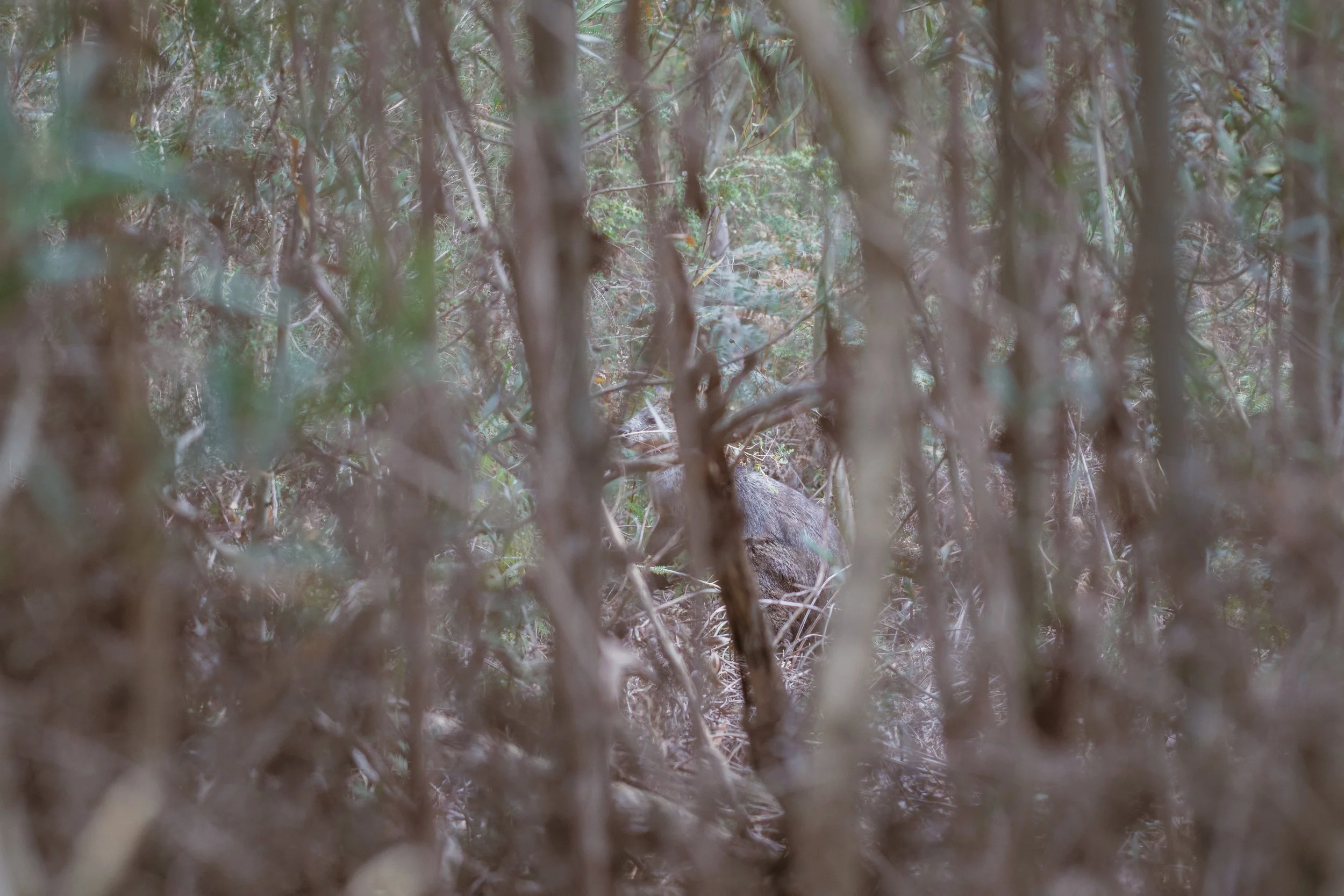
Swamp Wallaby | The Pines Flora and Fauna Reserve | Native (Least Concern)
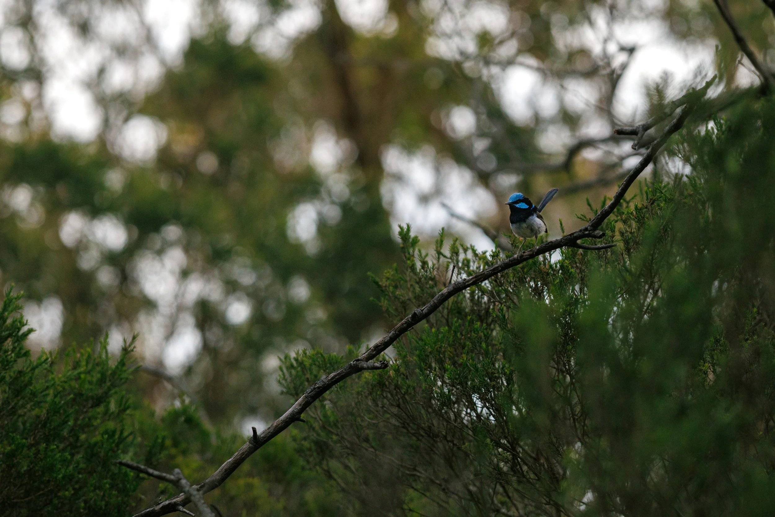
Superb Fairywren | The Pines Flora and Fauna Reserve | Native (Least Concern)
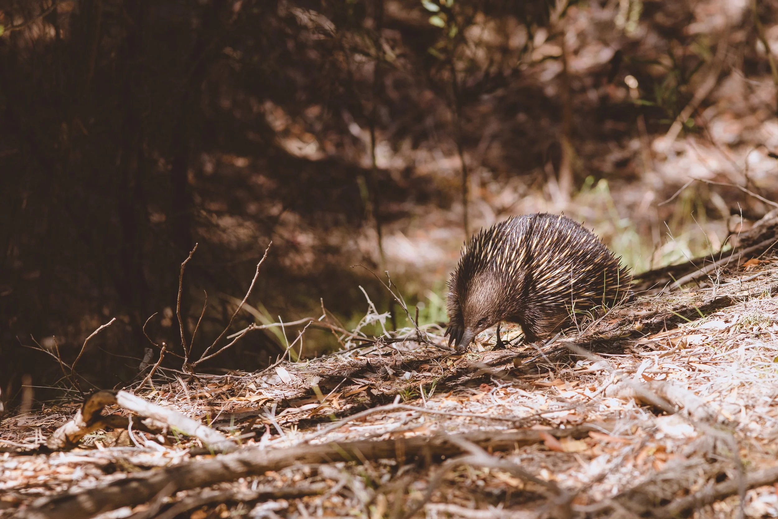
Eastern Short-beaked Echidna | The Pines Flora and Fauna Reserve | Native (Least Concern)
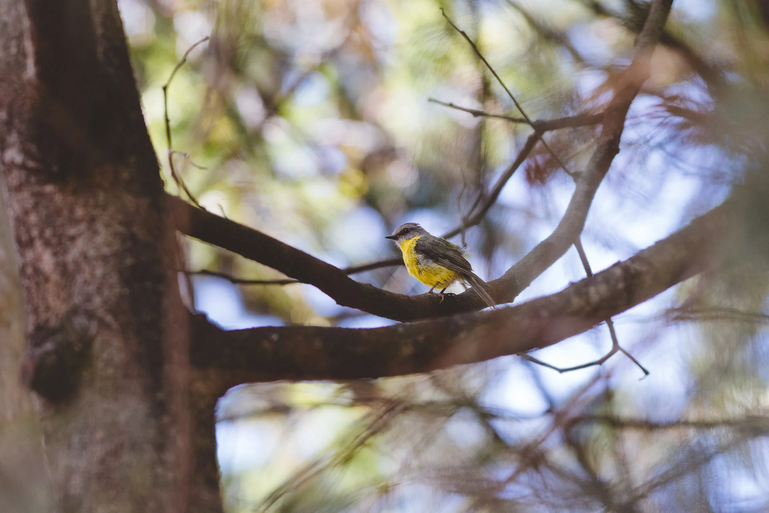
Eastern Yellow Robin | Frankston Nature Conservation Reserve | Native (Least Concern)
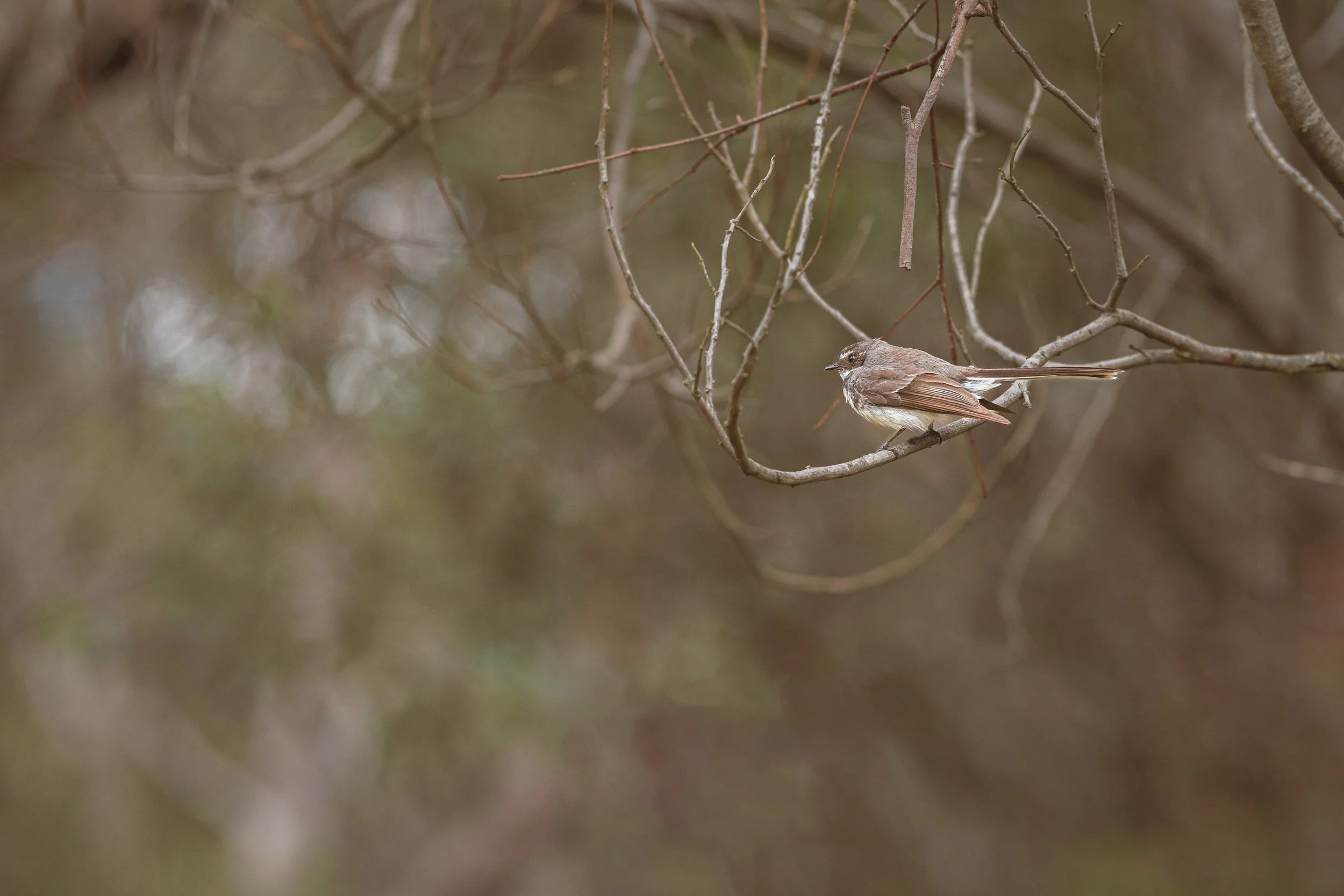
Grey Fantail | The Pines Flora and Fauna Reserve | Native (Least Concern)
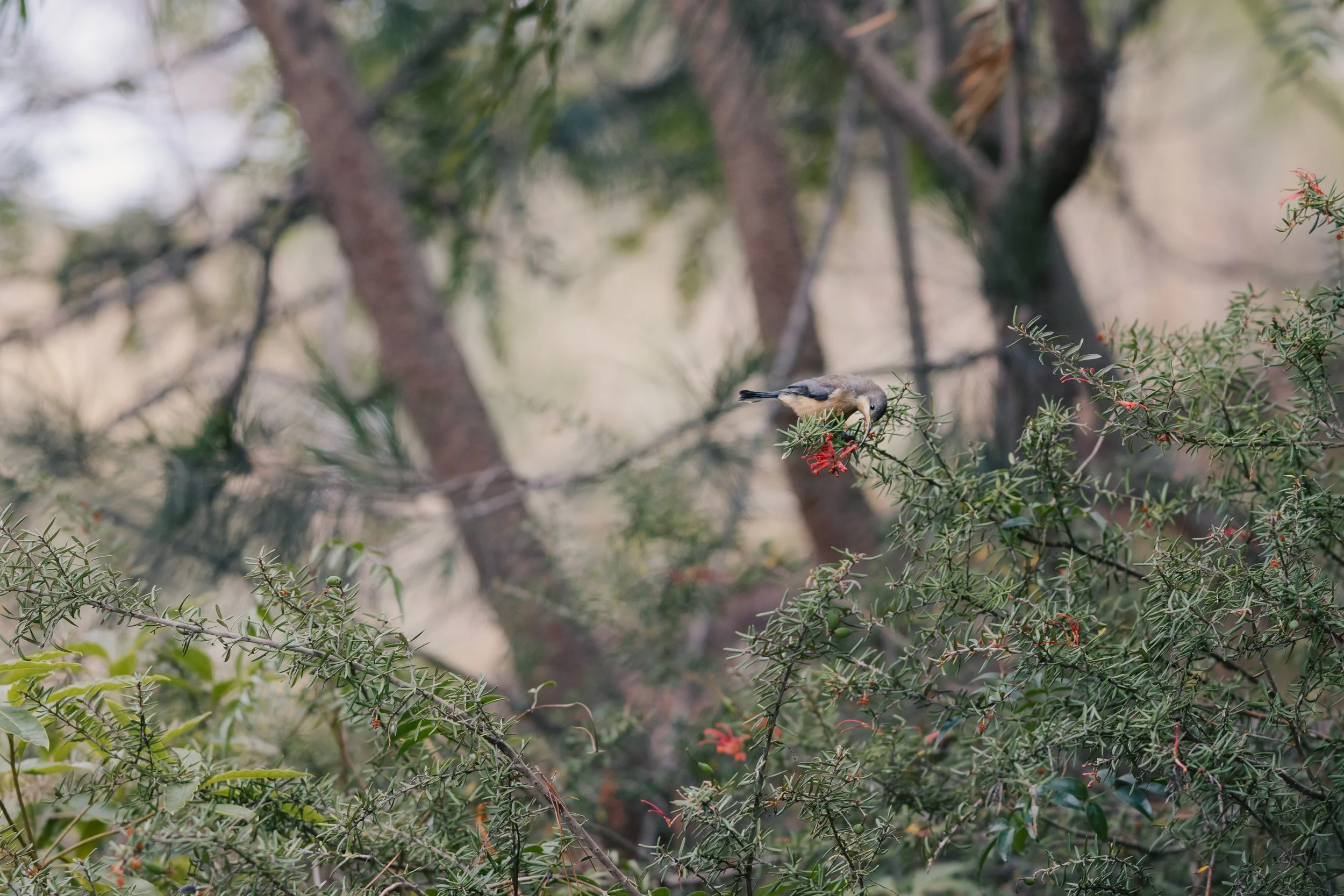
Eastern Spinebill | Frankston Nature Conservation Reserve | Native (Least Concern)
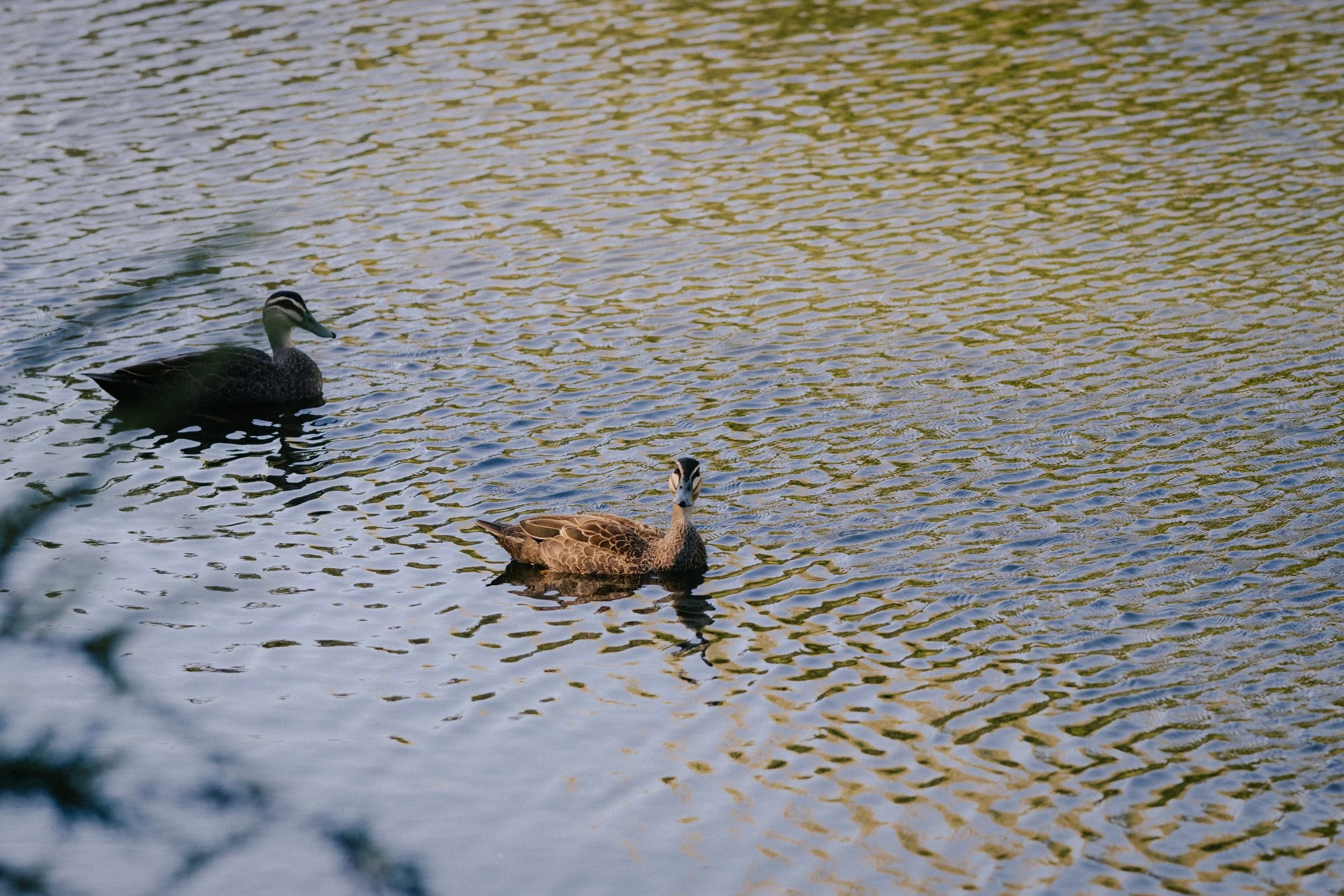
Pacific Black Duck | Kananook Creek | Native (Least Concern)
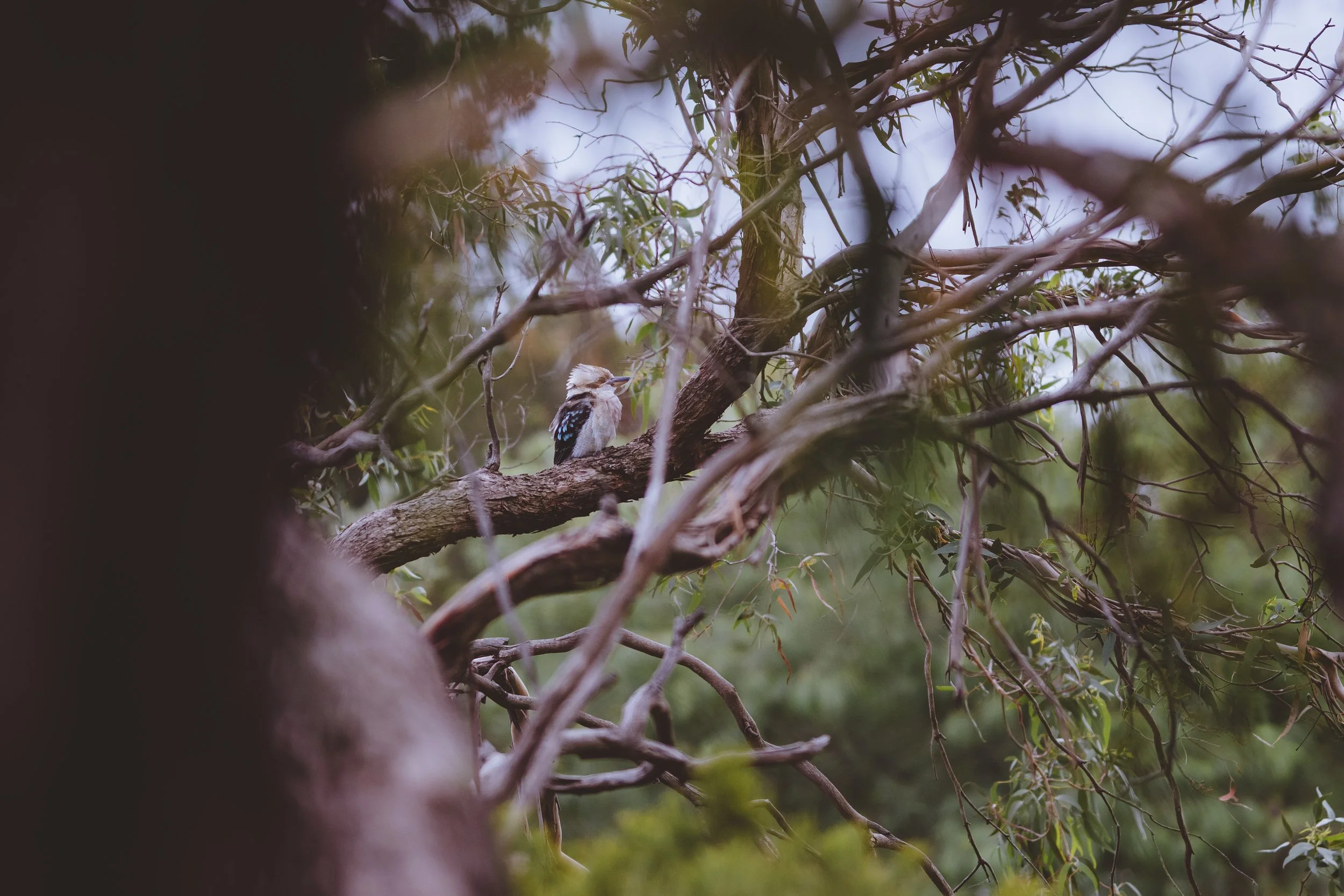
Laughing Kookaburra | Frankston Nature Conservation Reserve | Native (Least Concern)
Data & Attribution Notice: The Dunkley Biodiversity Audit is an independent citizen-science project. Environmental models and species mapping on this platform incorporate open-access datasets from Geoscience Australia (ELVIS), the Department of Energy, Environment and Climate Action (DEECA), iNaturalist, and Visual Crossing. All source material is utilised in accordance with respective Creative Commons and data-use guidelines. For more information, view the project’s Data Disclaimer.